

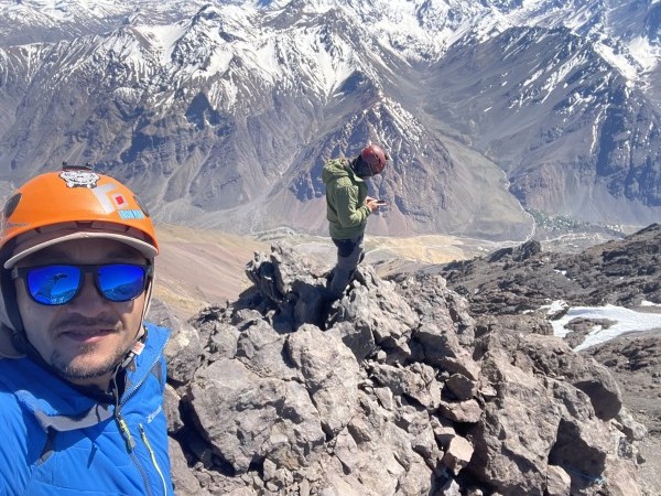
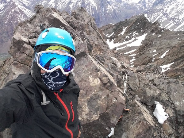
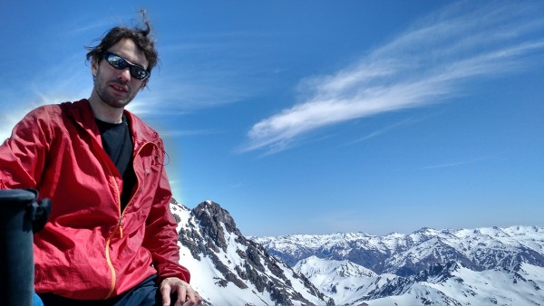
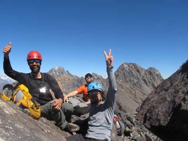
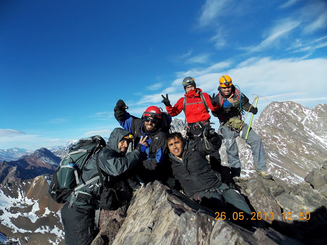
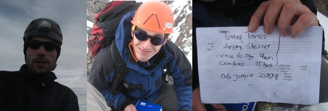
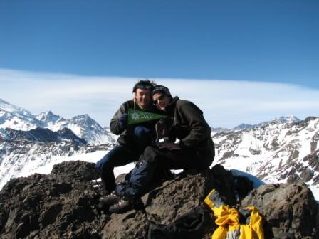
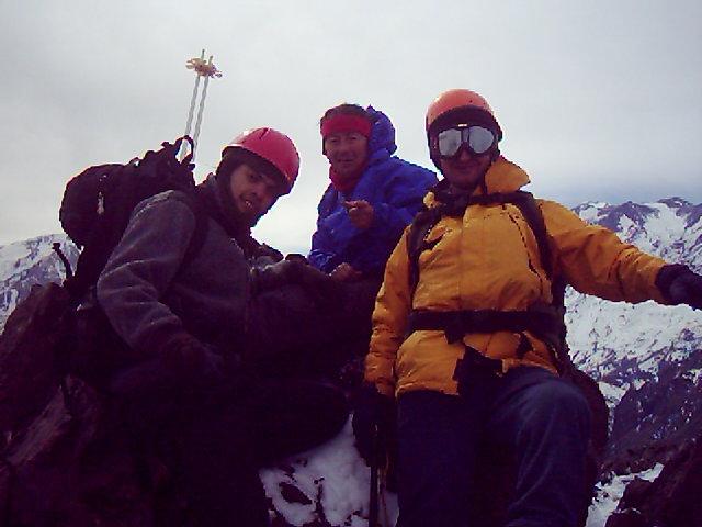
We found a good parking spot close to a goat farm. This area is less traveled and has less trails. We started on an easy-to-follow animal trail. Since the beginning it was very steep. We continued for a long time on the ridge. We had an awesome view of 2 condors circling just above us. We also saw a herd of goats traveling through the mountain. At one point we started sidehilling to the right of the ridge. It was still very steep and sometimes loose. We started to wonder if we were short on time. After exploring a little we decided to continue toward Retumbadero. We reached a flatter terrain with a bit of snow. We went east toward a small col at the bottom of Retumbadero. Getting to the col was a bit hard through a mix of snow and dry mud. There, the final climb started. There were some class 4 moves at the beginning, then mostly class 3. For the way back, I decided to do the sidehilling much lower, it was not really better.
Total de ascensiones: 42


