Publicado el 01-01-2001
Características de la ruta
Primera ascensión
Ruta: Canaleta del Rincón
- Miguel Gómez (ES)
El Mirador del Morado es un cerro de primavera. Es recomendable para finales de ésta y comienzos del estío, cuando las condiciones de la nieve son óptimas (El cerro también es un excelente lugar para practicar el randoné.)
A comienzos de primavera la nieve es honda, pesada, y muy suelta (peligro de avalanchas). En verano el cerro prácticamente no tiene nieve, y la ruta pasa a ser un continuo de acarreos y sectores de roca de mala calidad.
Santiago - San Gabriel
Desde Santiago dirigirse al sector de Las Vizcachas ubicado al suroriente de la capital. En este punto nace la ruta G-25 conocida como "camino el volcán". Un retén de Carabinero destaca al inicio de esta ruta (km 0). El camino se encuentra pavimentado y se interna hacia el Sureste por el cajón del Maipo, pararelo al río del mismo nombre. Durante su trayecto se pasa por las localidades de El Manzano (km 13), San José de Maipo (km 22), San Alfonso (km 33) hasta alcanzar el pueblo de San Gabriel en el km 44. En la localidad hay un retén de Carabineros en el cual suelen exigir que se reporte la actividad de montaña que se va a realizar. Considerar 1h para este trayecto.
Desde San Gabriel (km 0) hay que seguir por el mismo camino hacia el Sureste. Luego de cruzar los puentes sobre los ríos Yeso y Volcán, la ruta pasa por el sector del Romeral (km 2) y del Volcán (km 9). Cuando han transcurridos 20km se alcanza el desvío hacia Baños Morales. Este desvío baja hacia el río Volcán (izquieda) por un camino de tierra para cruzarlo nuevamente por un puente y alcanzar esta villa (unicada a 1km desde este desvío). Baños Morales es un pequeño poblado ubicado justo en la confluencia del estero Morales y el río Volcán. Arrieros, cabreros, camping, posaderos y montañistas caracterizan el lugar. Es el último punto hacia el Este con un mínimo de provisiones y con umbrosos árboles que permiten descansar del sol (además de Lo Valdés que se encuentra justo al frente, en la ribera opuesta del río Volcán.)
Desde Baños Morales dirigirse a la entrada del valle de Morales, punto de acceso al Monumento Natural el Morado que es protegido y administrado por Conaf (1850m). Para ingresar al lugar se deberá notificar las características de la excursión (tiempo, número de personas, objetivo, fecha de regreso) y pagar la entrada de CLP 4200 p/p/día. Es obligatorio hacerlo con anticipación en(www.pasesparque.cl)
Cuando hay presencia de nieve en la ruta, Conaf exige a todos los excursionistas el llevar polainas para poder ingresar. Los guardaparques son inflexibles en la aplicación de esta medida. Para ascensiones, se exigen cordadas de mínimo 3 personas.
Requisitos Conaf para realizar ascensiones a cumbres del Monumento Natural El Morado (en 2025 no se están dando permisos)
1.- Según la web de Conaf, se debe solicitar un permiso de ascenso al interior del Monumento Natural El Morado (San Pío X 2475, Providencia). El funcionario encargado es Fernando Elorza.(Contacto: [email protected], teléfono fijo 223280343). Sin embargo, a la fecha de esta actualización no se están dando permisos de ascensos al interior del Monumento debido a riesgo de derrumbes e inestabilidad del clima (información entregada por funcionario de la Administración Región Metropolitana)
2.- Dar aviso de su expedición al Cuerpo de Socorro Andino (CSA) a través de su sitio web : www.socorroandino.cl y presentar constancia de este aviso (impresión del aviso o pantallazo digital).
3.- Dejar constancia de su expedición en el Retén Fronterizo San Gabriel de Carabineros de Chile y presentar la papeleta que certifica esa constancia.
Si alguno de estos papeles falta, los guardaparques no permiten el acceso puesto que son inflexibles.
El último lugar con señal segura de celular es San Gabriel, desde donde se podría dar aviso al CSA. La entrada al monumento está permitida sólo hasta las 12:30 y en caso de querer acampar para intentar el ascenso de alguna cumbre, se deberá enviar con anticipación un mail a Conaf solicitando el permiso respectivo.
Existe servicio de transporte público a Baños Morales y Lo Valdés, realizado por las empresas Turismontaña (teléfonos: 8500555 / 8500783) y Turismo Arpue (teléfonos: 02-6818475 y 09-99320108). Ambos realizan el servicio previa reserva hasta Baños Morales. Salen desde Plaza Italia, a un costado del edificio Telefónica, todos los fines de semana.
Otra opción es tomar el metro hasta el terminal de buses en estación Bellavista de la Florida (línea 5), o continuar un par de estaciones más hasta Las Mercedes. Desde estas 2 estaciones es posible tomar el bus MB-72 (empresa Turmaipo, teléfono 8611518), que se dirige hasta San Gabriel los días de semana con frecuencia de 1h y hasta Baños Morales los fines de semana o días feriados. Salidas sábados a las 7.30 AM, domingo y festivos 8.30 AM; desde el 1 de enero de 2012 hasta semana santa del mismo año, salidas diarias a las 7.30 AM, domingo 8.30 AM. Todos los horarios son desde la estación Bellavista de la Florida. El regreso desde Baños Morales es a las 6.00 PM. Valor ida y vuelta $8000 (aprox. US$16).
Desde el control de Conaf se debe seguir el sendero que se interna hasta el final del valle. En aproximadamente 1h (3km) se alcanza el lugar de Aguas Panimávida: una vega con pozos de agua mineral.
En otras 2h a 3h se alcanza la laguna de Morales (2430m), luego de caminar unos 5km. Este lugar es el lugar natural de campamento: se encuentra casi al final del valle, disponiendo de abundante agua y lugares para acampar. Sin embargo, otros prefieren seguir hasta un plateau ubicado a +/-2880m, camino hacia la cumbre. Desde la laguna, se requieren más de horas para alcanzar este punto, si se va con carga de campamento; sin carga, este tiempo se reduce a casi la mitad.
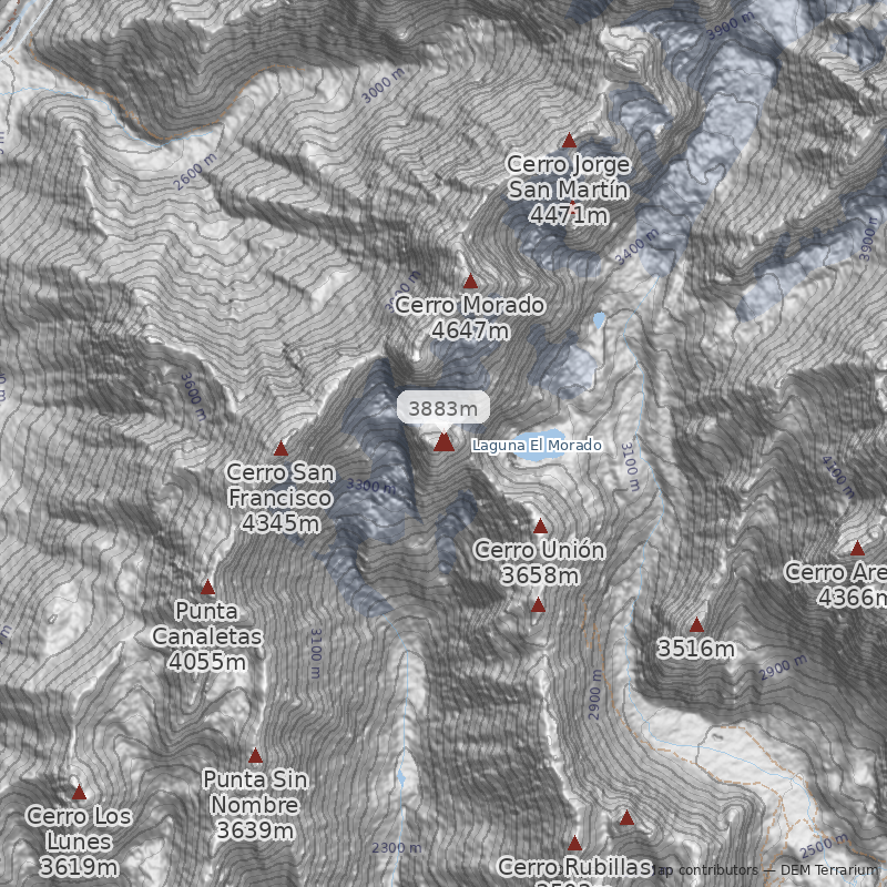
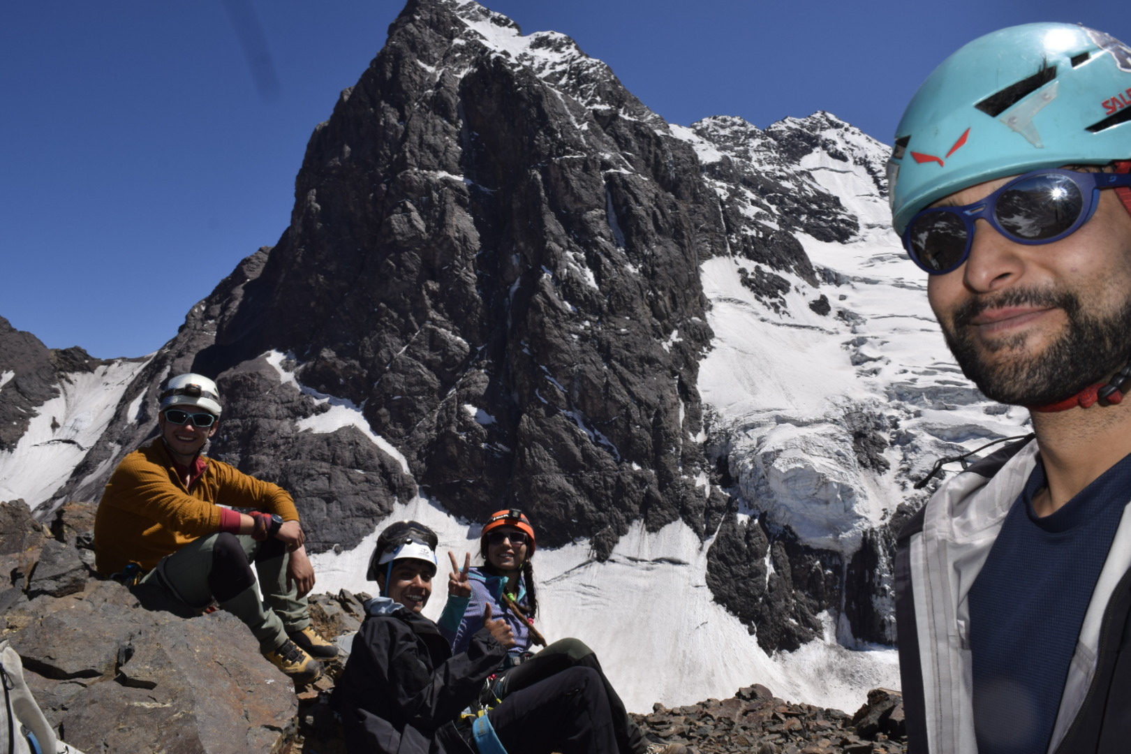
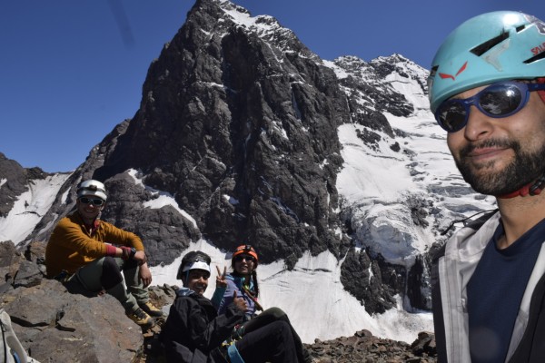
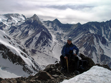
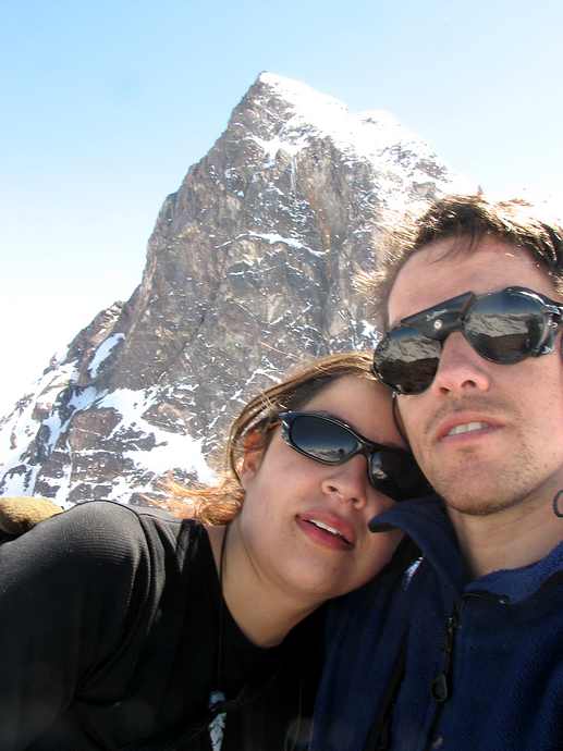
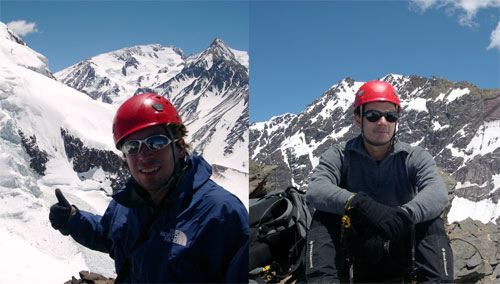
Desde la laguna del Morales seguir hasta el final del valle y tomar el nevero más oriental que permite remontarse sobre la morrena de glaciar (See photo 1) hasta alcanzar un gran plateau, debajo del "circo" de cerros formado entre el cerro Unión y el Mirador del Morado (entre 1h y 1½h). Una vez en el plateau seguir en dirección norte hacia la canaleta que cae al costado derecho del cerro Mirador (como puede verse en la foto principal de la ruta, esta canaleta no es parte del cerro, sino de la unión de éste con la cadena de cerros oriental del valle See photo 4). Al pie de la canaleta (+/-3230m) tener cuidado con una notoria rimaya, que dependiendo de la época del año puede ser un lugar muy expuesto y peligroso.
La canaleta es relativamente limpia (no caen muchas piedras), aunque se debe estar atento al desprendimiento de material proveniente de la ladera oriental del cerro Mirador, y de las posibles avalanchas (por eso recomendamos partir lo más temprano posible. See photo 4)
Desde la rimaya hasta el final de la canaleta (el portezuelo natural, aunque no utilizable, que une los valles Morales y Morado) son entre 1½h y 3h (el rango del intervalo de tiempo es grande dado que el tiempo varía mucho según las condiciones de la nieve.) La pendiente de la canaleta es de aproximadamente 45°, aunque presenta tramos de 50°. El portezuelo es bastante aéreo hacia el estero del Morado.
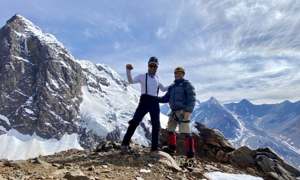
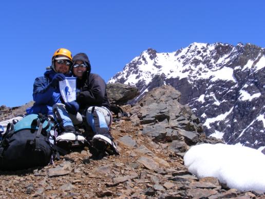
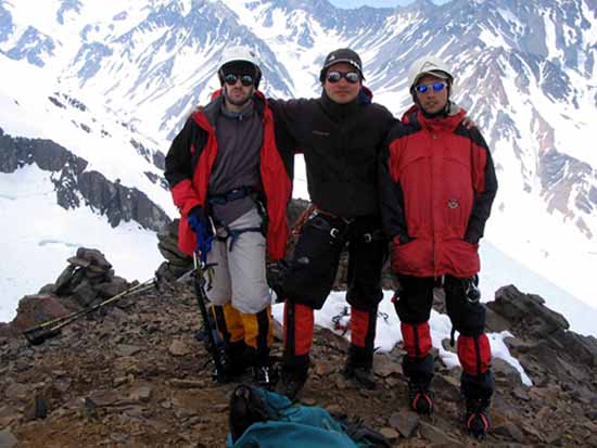
Una vez en el portezuelo (+/-3580m), seguir derecho por el filo este del cerro en dirección hacia la cumbre. La pendiente es semejante a la de la canaleta, y en forma sostenida y sin descansos naturales permite alcanzar el filo cumbrero en aproximadamente 2h. Los últimos metros pasan en minutos, mientras se contempla el espectáculo escénico de los alrededores See photo 3.
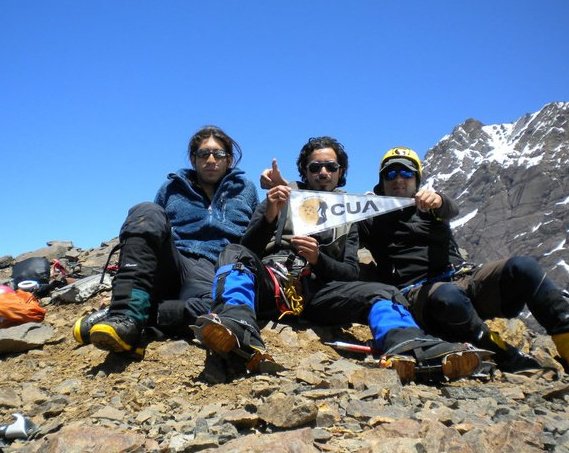
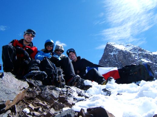
La cumbre es pequeña y muy expuesta a los vientos, aunque el mejor lugar de donde contemplar la impresionante pared sur del cerro Morado y los glaciares que abundan en todas direcciones (See photo 2).
Se acostumbra a bajar el cerro usando la vía normal hasta el plateau. Sin embargo, usar la misma ruta puede ser una alternativa si las condiciones de la nieve, la experiencia y destreza de los montañistas lo indican. La bajada por la normal puede llegar a ser mucho más lenta y peligrosa.
- Para información actualizada de condiciones de acceso al Monumento Natural llamar a Conaf a los siguientes teléfonos 02-3280300 o 08-9019775
- Sólo está permitido el ascenso y la pernoctación de andinistas en actividades deportivas con credencial (al día) de Andinistas Federados. Si están en formación, se solicita que el guía porte esta credencial. Si son de un club, dicho club debe estar reconocido por la Federación (y portar credencial).
- Tarifas de ingreso al Monumento Natural El Morado:
- Niños (0 a 12 años): CLP 0
- Menor nacional (13 a 17 años): CLP 2.600
- Menor extranjero (13 a 17 años): CLP 4.700
- Adulto nacional (18 a 60 años): CLP 4.200
- Adulto extranjero (incluye mayores de 60 años y personas con discapacidad): CLP 8.800
- Persona con discapacidad nacional: CLP 0
- Adulto mayor nacional (Desde 60 años): CLP 0
Reserva tu entrada con anticipación en Pasesparque.clAviso Cuerpo Socorro Andino
- Se recomienda avisar de la salida al Cuerpo de Socorro Andino. Se puede hacer a través del formulario en su página web.
- Abrigo y cortaviento
- Piolet de marcha o piolet técnicos
- Cuerda (travesía de glaciar, descenso por la ruta, o falta de experiencia)
- Estacas (1 por persona)
- Casco
Itinerario Normal
- Santiago - Laguna de Morales
- Laguna de Morales - Cumbre - Stgo
Este es el itinerario tradicional en época adecuada
Itinerario Alternativo
- Baños Morales-Cumbre-Santiago
El cerro es ascendible en una jornada desde Baños Morales, aunque requiere partir muy temprano.

