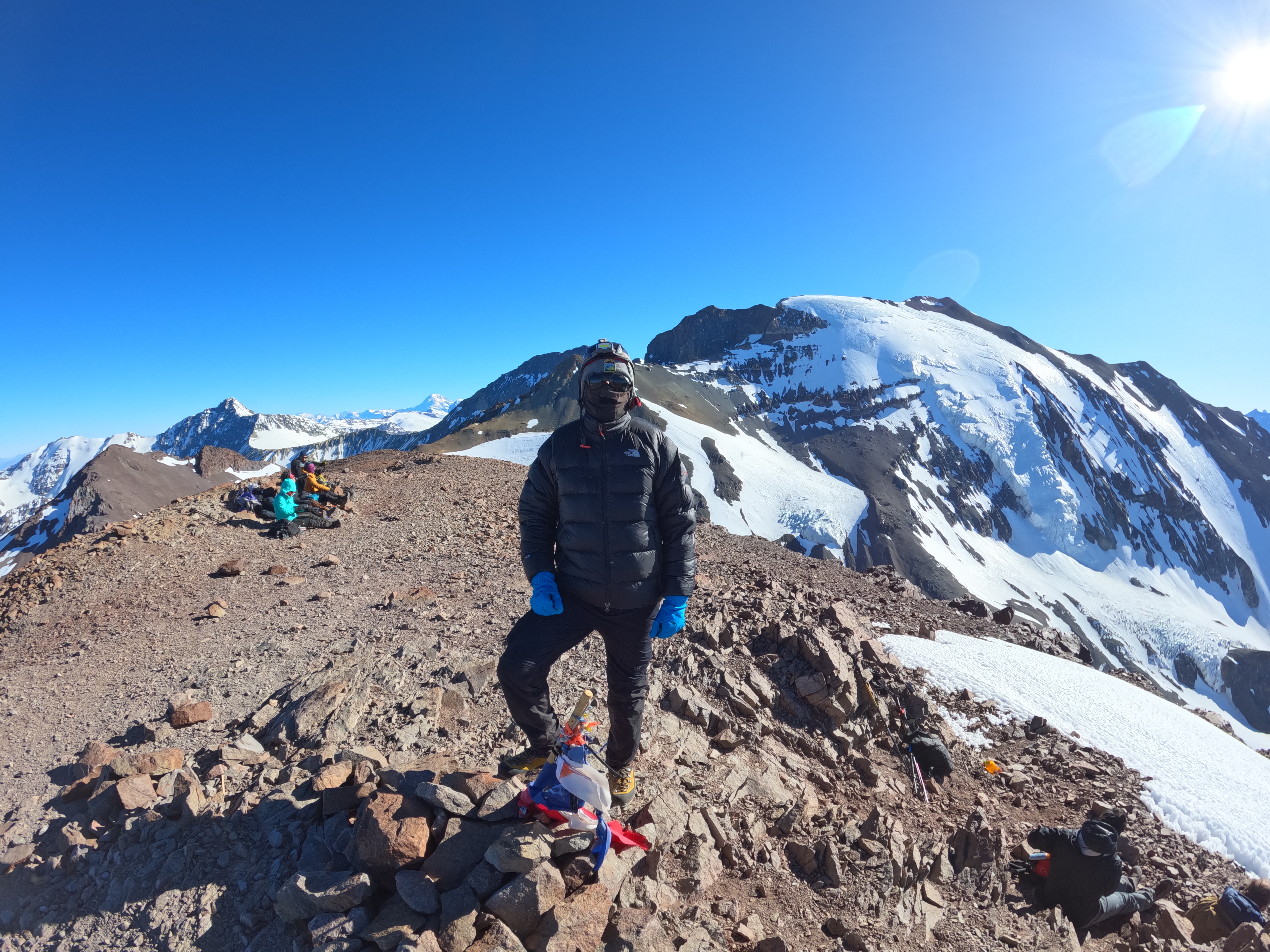
Ruta: Normal desde Cancha de Carreras
Región Metropolitana, Cancha de Carreras
Características de la ruta
Primera ascensión
Ruta: Normal desde Cancha de Carreras
- Erwin Gehrung
- Heinz Koch
De diciembre a marzo es la época más adecuada, aunque el Leonera es fácilmente ascendible durante todo el año. En invierno se debe ir preparado para enfrentar condiciones climáticas extremas. La sensación térmica de este cerro es bajísima puesto que se halla muy expuesto al viento norte.
Desde Farellones continuar subiendo 8km más hacia el noreste hasta el centro de esquí La Parva. Al final de éste, dependiendo de si el camino y el paso hacia las canchas están habilitados, alcanzar la base del andarivel Águilas, punto hasta donde se permite el ingreso de vehículos.
En temporada estival el andarivel Las Águilas funciona para excursionistas, lo que posibilita llegar en 25 minutos al portezuelo Franciscano (3450m).
Las tarifas del andarivel para el verano 2021-2022 son las siguientes:
- Tarjeta Recargable Parvapass: $ 2.500
- Ticket Bikepark: $ 19.000
- Ticket Adulto Andinista: $ 13.000
- Ticket Menor Andinista: $ 10.000
- Ticket sólo subida o bajada: $ 10.000
Días de funcionamiento: sábados y domingos.
Horario funcionamiento andarivel: 8:00 AM a 17:00 PM.
Última subida o bajada: 16:35 PM.
Más informaciones acá: https://recargaonline.laparva.cl/
Sólo durante temporada invernal hay transporte público a La Parva.
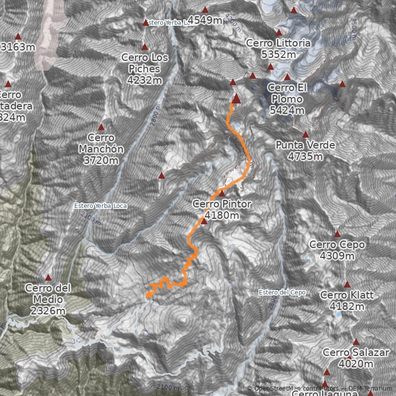
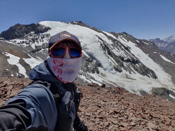
Desde el portezuelo ascender La Falsa Parva, remontando el cordón de cerros que culmina en el Leonera. Esta parte toma menos de 1h, y transcurre por cualquiera de los derroteros que zigzaguean los distintos acarreos de La Falsa Parva (tanto por el lado oeste o este del cerro) See photo 2. Una vez alcanzada la cumbre de la Falsa Parva, seguir la huella marcada de muy suave inclinación que se dirige en dirección al cerro Plomo. Desde la Falsa Parva (3888m), en menos de 20 minutos se alcanza y comienza a rodear el cerro La Parva (4047m), que se ve al costado derecho del camino. Luego viene el cerro Pintor (4180m), bordeando por la izquierda su cumbre, que se encuentra a escasos metros See photo 5. En total, desde el portezuelo hasta el Pintor, se requieren entre 2½h y 3h en promedio (sin carga; con carga multiplicar el tiempo por un factor de 1,5 o 2.)
Desde el Pintor se baja hacia una extensa y abierta explanada conocida como Cancha de Carreras See photo 6 y See photo 7. Justo en el medio de esta planicie solía correr un tímido curso de agua, y es el lugar óptimo o clásico de campamento (a unos 30 minutos del Pintor). Cuando se va al Leonera a acampar, es muy variable el tiempo que demoren los montañistas en alcanzar los diferentes puntos. Sin embargo, esto no es un problema, puesto que hay muchos lugares distribuidos por la ruta que sirven de campamento (pircas y planos), y un ataque a la cumbre desde cualquiera de esos puntos es posible. El único cuidado que se debe tener es que en meses de años muy secos es difícil encontrar agua y nieve, agravando la elección de campamento.
Desde Cancha de Carreras se requieren cerca de 4h para alcanzar la cumbre. Al inicio, se sigue la misma dirección hasta el final de Cancha de Carreras, donde es necesario cruzar por un especie de "puente" bastante angosto si se compara con el resto del cordón que se ha recorrido hasta este punto. Al costado izquierdo pueden apreciarse grandes farellones. Desde aquí tener mucho cuidado con no perder la huella, que se confunde en medio de un sector de acarreo y piedra. En general es preferible y más seguro seguir lo más a la derecha posible; hacia la izquierda la pendiente es mayor y es muy expuesto. Una vez sorteado el sector de acarreo, se alcanza el nivel superior de una corrida de farellones que cruza de Este a Oeste el cerro.
Desde aquí, seguir el filo que pasa por debajo y a la izquierda del último sector de rocas que se ve hacia arriba See photo 4 (la última corrida de farellones que se observa desde aquí), atravesando de vez en cuando sectores de penitentes. Una vez alcanzada la última corrida de farellones girar hacia la derecha (hacia el Norte) siguiendo por la izquierda la dirección que siguen las rocas. Al final del sector de rocas es visible la cumbre, debajo de la cual se encuentra una hondonada carcterística cubierta de nieve que debe ser atravesada. Luego se sube siguiendo la huella que remonta el acarreo que separa de la cumbre (son aproximadamente 100m de desnivel desde el planchón de nieve). Hay dos opciones: seguir la huella que rodea la cumbre por el Noroeste y acceder a ella por su parte menos inclinada y expuesta (se recomienda esto) (1); o seguir la huella que se dirige derecho a la cumbre por un acarreo suelto muy expuesto de roca (2).
La cumbre
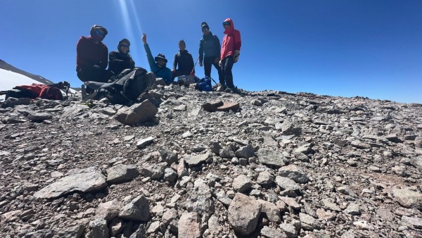
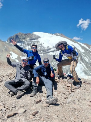
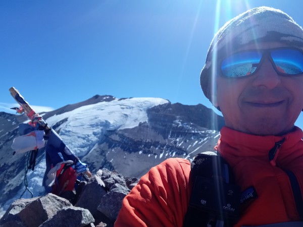
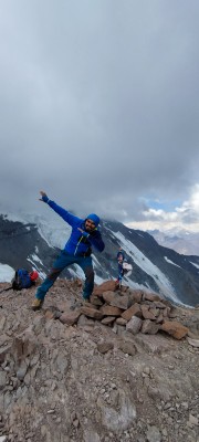
La cumbre es pequeña y muy expuesta al viento. Desde ahí se tiene vista formidable a los glaciares del Plomo (no hay mejor lugar) y hacia el Altar y La Paloma.
Otros
El Leonera es ascendible por mucho de sus flancos y acarreos. Sin embargo, ninguno presenta atractivos adicionales a los que presenta la ruta normal, puesto que la figura del cerro es bastante homogénea. Para los que aman los acarreos largos y expuestos, el acarreo que cae hacia el sector de La Hoya es un lujito (See photo 3).
- Llevar muy buen abrigo y protección para el viento.
- Evitar hacer la ascención en solitario.
- En veranos secos llevar mucho líquido. En los últimos años en verano no ha habido nieve para derretir en ninguno de los sectores de campamento.
- Se recomienda avisar de la salida al Cuerpo de Socorro Andino. Se puede hacer a través del formulario en su página web.
- Buenos zapatos
- Abrigo y cortaviento
- Bastones (opcional)
- Equipo de campamento
Itinerario Normal
- Santiago - Cancha de Carreras
- Cancha de Carreras - Cumbre - Santiago
Itinerario Alternativo
- Santiago - Cumbre - Santiago
Para hacer cumbre en un día se debe tener resistencia a la puna y buen estado físico.

