Características de la ruta
Entre fines de noviembre y principios de marzo. Tanto en primavera como en invierno las condiciones son extremas (un buen lugar donde preparar una expedición a Los Himalayas y para el randonnée). Al final de la primavera la nieve dura permite sortear la aproximación con más rapidez.
Desde Santiago siguiendo la ruta G-25 que se interna por el cajón del Maipo, se llega al pueblo cordillerano de San Gabriel, donde hay un retén de Carabineros y en el que conviene dar aviso de la excursión. Son 64km de camino pavimentado en buen estado que se pueden recorrer en poco más de 1h. Este mismo camino, que continua asfaltado desde San Gabriel, sigue serpenteando por la ribera sur del río Volcán y tras unos 20km llega a una bifurcación. El camino que baja hacia el Norte (hacia el río Volcán a la izquierda), conduce a Baños Morales, mientras que si se continúa derecho al oriente, se alcanza el villorrio de Lo Valdés (1845m). Desde este último poblado, el camino vehicular prosigue sin asfalto hacia el Este por otros 7km hasta el puente que cruza el estero Colina, justo al costado sur de un macizo rocoso denominado Morro Negro, a cuyos pies se observan varios corrales y un refugio de arrieros conocido como el "Cabrerío".
Desde el cabrerío, tomar un sendero que comienza al costado oeste del morro Negro y continúa en dirección norte rodeándolo, hasta alcanzar, en algo menos de 1h, el valle de la Engorda. Desde este gran valle de veranada puede apreciarse el volcán San José cabalmente. Desde aquí seguir la huella que se interna hacia el Norte, teniendo como punto de referencia unas grandes rocas al medio del valle, que es un buen lugar para cruzar el estero Marmolejo. Una larga jornada se requiere para llegar hasta el final del valle que encauza al río Marmolejo (unos 10km), e instalar el primer campamento. Se sugiere avanzar por la ribera oeste del río, y partir lo más temprano posible, aminorando así la dificultad que presenta el cruce de ríos en la primera parte de la aproximación (en especial el río de la Engorda y un afluente del río Marmolejo, este último a un par de kilómetros de camino desde la Engorda hacia el Norte). Estos dos cruces de río ocurren dentro de las primeras 2h a 3h de camino. El CB se encuentra al final del valle, sobre una explanada amplia.
CB-C1
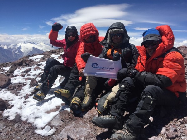
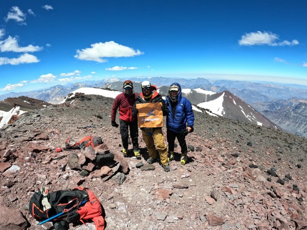
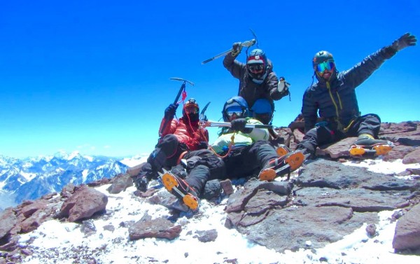
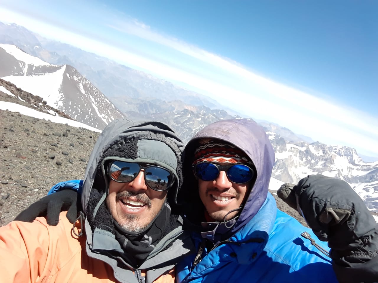
Desde el primer campamento (entorno a la cota de 3600m) o CB (campamento base), la huella sigue hasta topar, al fondo del valle, con la barrera que separa los valles del Yeso y del Marmolejo. Aunque un poco difusa, la huella discurre por un acarreo de piedra muy suelto al costado izquierdo de una lengua de nieve muy notoria, de unos 300m de desnivel, que, dependiendo de las condiciones de la nieve, es una buena alternativa a considerar para alcanzar el portezuelo divisorio. Desde el portezuelo el sendero gira hacia el este (See photo 4). Unas 4h y más desde el CB se requieren para llegar a un plano (plateau) en donde por primera vez se divisa la cumbre hacia el este (a 4100m), y donde algunas pircas y planos sugieren armar campamento See photo 2. Este lugar o C1 (campamento 1) se destaca por tener el suelo de color rojizo y por ser el primer lugar donde puede apreciarse el cerro. Hay nieve para derretir, y en ocasiones lo cruzan algunos cursos de agua menores.
C1-C2
Desde el C1 al C2 se requieren unas 4h. El C2 se encuentra a 4900m, justo en el punto donde el cordón rocoso que se ha remontado desemboca en medio del glaciar del marmolejo. Desde aquí puede verse fácilmente el portezuelo que une el volcán San José Norte y el Marmolejo. Un C2 opcional(C2’) puede instalarse en un sector de tierra en medio del glaciar (a unos 20 a 30 minutos de travesía por el glaciar cuando se presentan buenas condiciones) a unos 5000m.
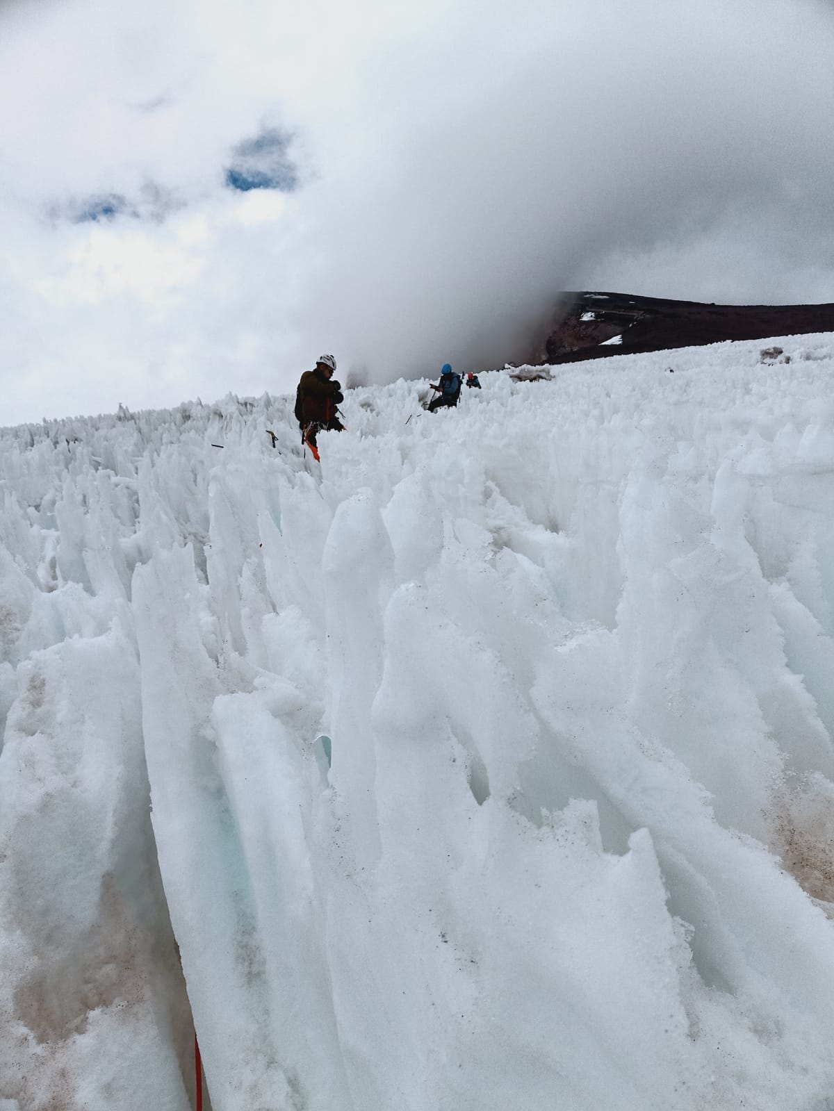
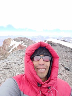
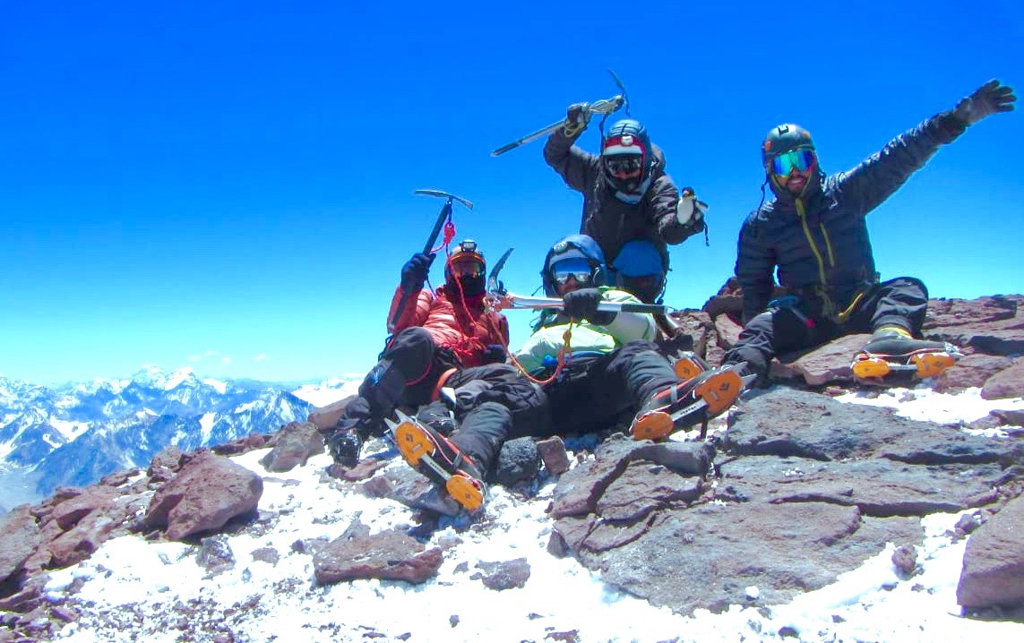
Desde el C2 hasta salir del glaciar (5300m) son entre 1h y 2h. Esto último dependiendo de las condiciones del glaciar y de los montañistas See photo 3. El glaciar Marmolejo es en este tramo relativamente “limpio”, sin grandes grietas que detengan la trayectoria. Sin embargo, siendo glaciar, siempre es bueno tomar precauciones, y no está de más encordarse. El desnivel total desde el C2 hasta el final del glaciar, en dirección a la cumbre, es de aproximadamente 400 metros, con una longitud aproximada de 2km (pendiente promedio de 11°) See photo 3.
Tramo final
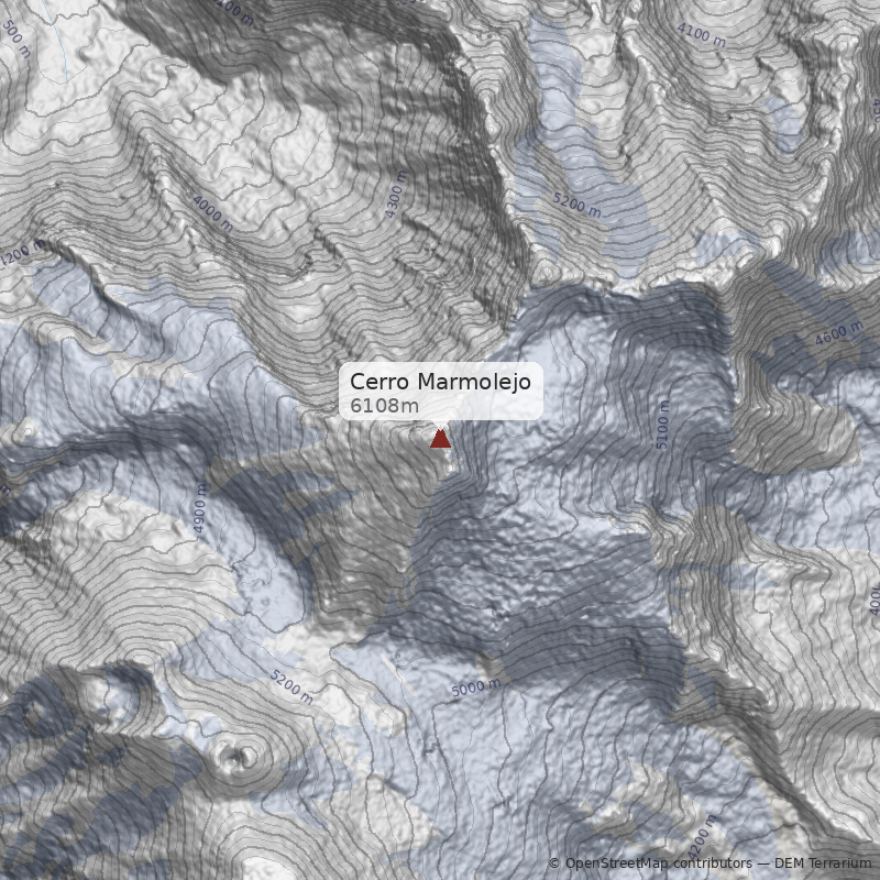
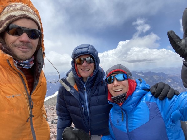
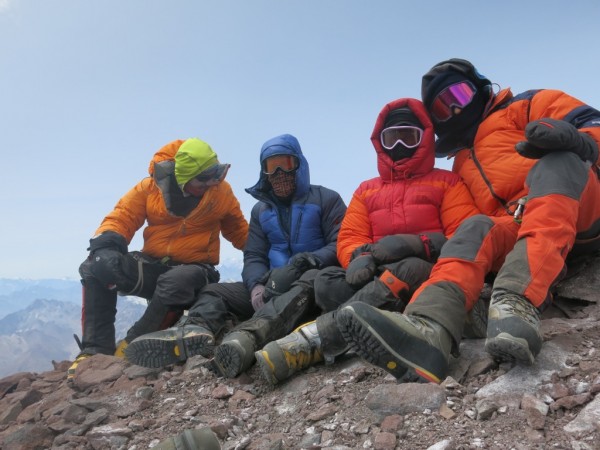
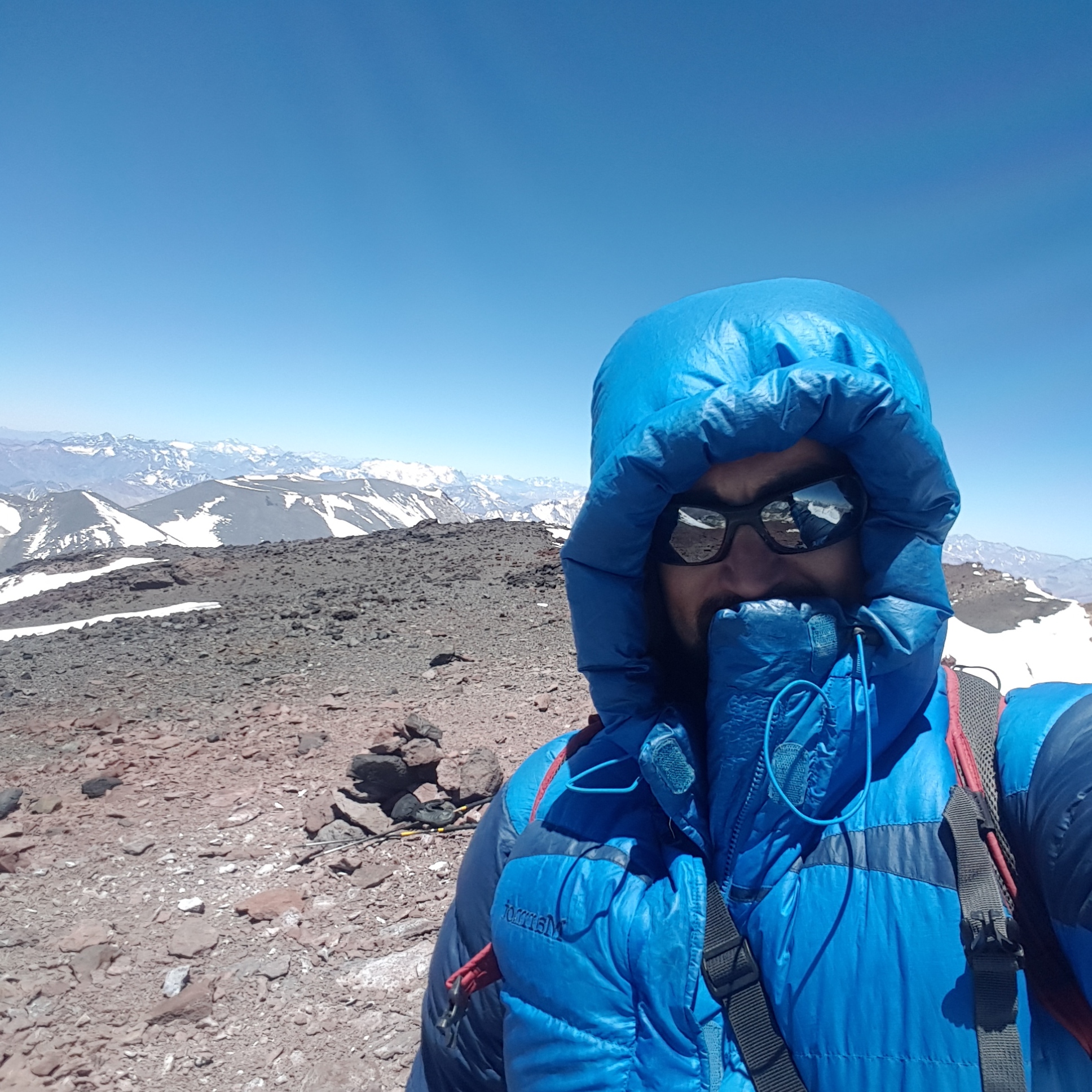
Saliendo del glaciar, se ingresa al tramo final que separa de la cumbre. Un largo acarreo de arena volcánica primero, y un trecho más rocoso al final, se deben ganar para alcanzar la cumbre principal. Algunos, en la parte final, se remontan al espinazo de piedra que está más al norte, y que conduce directamente al punto máximo; otros prefieren serpear las grandes piedras al resguardo del viento norte, justo debajo del espinazo antes mencionado. Los que siguen la segunda alternativa deberán lidiar con un terreno más inestable, pero estarán relativamente más protegidos del viento. Toda esta parte demora entre 4h y 6h, dependiendo como siempre de los montañistas y de las condiciones del tiempo. La pendiente promedio desde la salida del glaciar hasta la cumbre es aproximadamente 32°, siendo claramente mayor en la última parte, See photo 1.
La cumbre
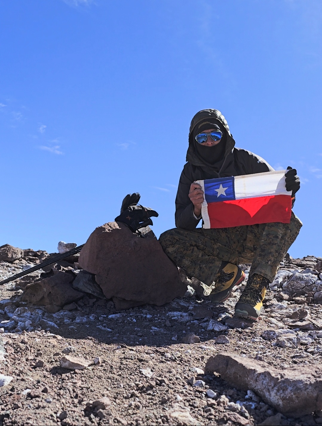
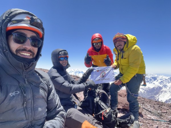
La cumbre principal del Marmolejo está muy expuesta al viento y es bastante aérea en su borde norte y este: una gran pared vertical de piedra (la pared Norte del Marmolejo) se suspende en el abismo, sólo dejando entrever de ella su base de hielo del enorme glaciar que baja hacia Argentina. Desde la cumbre se tiene visión muy amplia de todos los grandes cerros de la zona central, desde el Aconcagua hasta el volcán Maipo.
- Estar preparado para cruces de río hondos y caudalosos (aunque no requieren del uso de cuerdas (zapatillas son buen aporte)
- No tentarse con desviarse de la trayectoria descrita hacia una metida que remonta el glaciar siguiendo un pequeño curso de río antes de terminar el valle del río Marmolejo. Acceder al glaciar por esta entrada requiere de experiencia en hielo. Además es un lugar expuesto.
- En temporada estival el vehículo puede quedar al cuidado de los cabreros.
- Se recomienda avisar de la salida al Cuerpo de Socorro Andino. Se puede hacer a través del formulario en su página web.
- Equipo personal y de campamento para alta montaña
- Crampones
- Piolet de marcha
- Cuerda
- 2 estacas por cordada
Itinerario Normal
- Santiago – CB
- CB – C1
- C1 – C2/C2’
- C2/C2’ – cumbre – CB
- CB – Santiago
Itinerario Alternativo
- Santiago - CB
- CB-C1
- descanso
- C1-C2 ó C2'
- descanso
- C2-cumbre-CB
- CB-Santiago
Cuando se requiere de buena aclimatación o "aclimatización", como dicen los técnicos.

