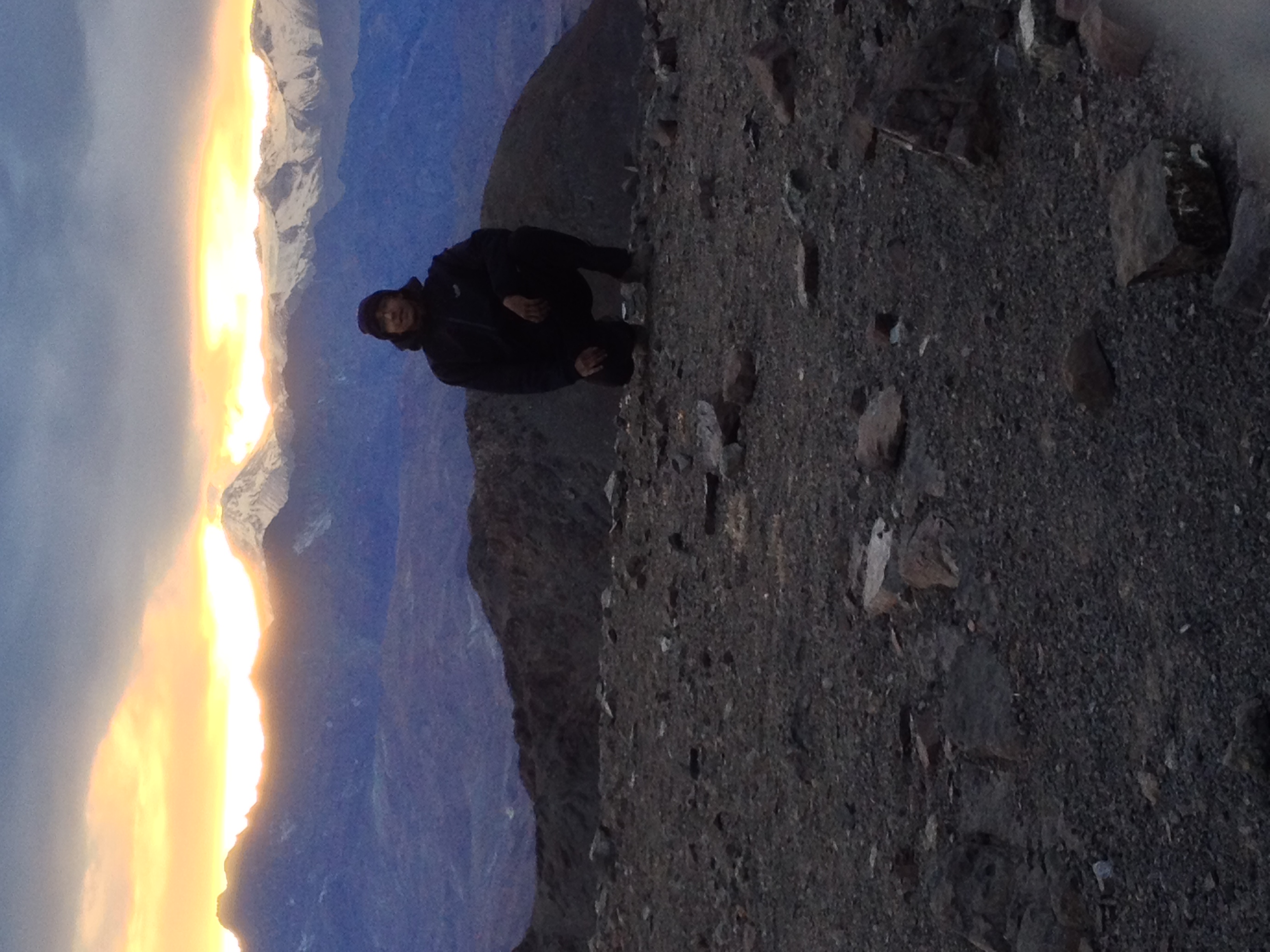
El Ramón se puede ascender durante todo el año. Hay que tener en cuenta eso sí, que durante los meses invernales las jornadas son más cortas, lo cual obliga a moverse rápido en el cerro, ya que es una larga ascensión. Además, la nieve aumenta el desgaste físico y la posibilidad de una tormenta de proporciones no es despreciable. Se hace también necesario el uso de crampones y piolet. Algunas partes son de pendiente no despreciable y el viento se encarga de barrer la nieve, dejando solo una costra dura. Durante el verano, en cambio, la radiación solar y el calor pueden jugar en contra de los excursionistas, debiéndose tener mucha precaución para evitar la deshidratación e insolación.
Subir por la avenida José Arrieta hasta el final de ésta. Ahí se topa con la universidad SEK. Doblar a la derecha por la calle Álvaro Casanova y continuar hasta encontrar a mano izquierda la entrada a un condominio. En la entrada hay un cartel que señaliza el acceso al Templo Bahá'í. Decir al guardia del condominio que se va a este club y proseguir hacia el cerro por la calle principal hasta el final, lugar donde se encuentra una barrera con guardia que restringe el ingreso al club. Una vez que se ha obtenido el permiso para ingresar con el vecino, Sr. Guillermo Atria, se continúa por los terrenos del templo Baha'i en el terreno de lo que antiguamente era el Old Grangonians Club.
Desde el estacionamiento del Templo Bahá'í (955m), seguir hacia el cerro pasando por un costado de la casa club y atravesando la cancha de golf hasta topar con una reja con portón. Traspasar esta reja y remontar la loma que cierra la quebrada por el sur pasando por la izquierda de una torre de alta tensión (See photo 2). Continuar derecho hacia arriba hasta topar con un sendero bien marcado que está señalizado cada cierta cantidad de metros con unas marcas de pintura blanca. Las marcas de pintura seguirán señalando el camino hasta prácticamente el final de la ascensión. Dependiendo del camino tomado inicialmente para remontar la loma, se topará con el sendero recién mencionado mientras este sigue remontando por la loma o cuando éste ya tuerce hacia la izquierda para internarse en la quebrada.
A una cota de 1350m el sendero abandona el filo de la loma y tuerce hacia la izquierda, internándose en la quebrada. El sendero continúa bastante plano por la mitad de la ladera, ganando muy poca altura, hasta llegar al fondo de la quebrada a un lugar conocido como Casa de Piedra (See photo 3). En este sitio (1560m), enclavado en un hermoso bosque de quillayes, peumos y litres, el sendero topa con el estero que baja por el fondo de la quebrada. El lugar es apto para pernoctar, ya que cuenta con el abrigo de un gran rocón inmediatamente al lado del agua. Sin embargo, no se recomienda éste como lugar de campamento, debido a su cercanía a la ciudad. No es en ningún caso un lugar seguro para dejar equipo durante un ataque a la cumbre, además que llegar sólamente hasta aquí representa muy poca ganancia en el camino hasta la cumbre. Aprovechar este lugar para abastecerse de agua.
Justo después del estero el sendero dobla hacia la derecha y enfrenta la pendiente, internándose en el bosque para iniciar un ascenso que tras 700m de desnivel dejarán en el filo que conecta la cumbre del llamado "Abanico" con el cerro La Cruz. Al principio la huella prosigue bastante firme, pero los últimos 300m de desnivel transcurren por un suelto y agotador acarreo (See photo 7). Finalmente se llega al final de la subida (2250m) y se gana el filo que separa la quebrada de Peñalolén de la de Macul. Tiempo hasta aquí: 3h - 4h.
Una ruta alternativa para evitar el agotador acarreo es continuar por una huella que sube directamente hasta la cumbre-final del Abanico, en vez de internarse doblando a la izquierda por la Quebrada de Peñalolén. Desde la cumbre del Abanico se sigue por hacia el noreste por el filo que conecta con La Cruz, retomando así la huella normal. Esta ruta tiene el inconveniente de eludir Casa de Piedra, así como la posibilidad de abastecerse de agua, pero ahorra bastante esfuerzo. Para el descenso se puede bajar por el acarreo (See photo 1).
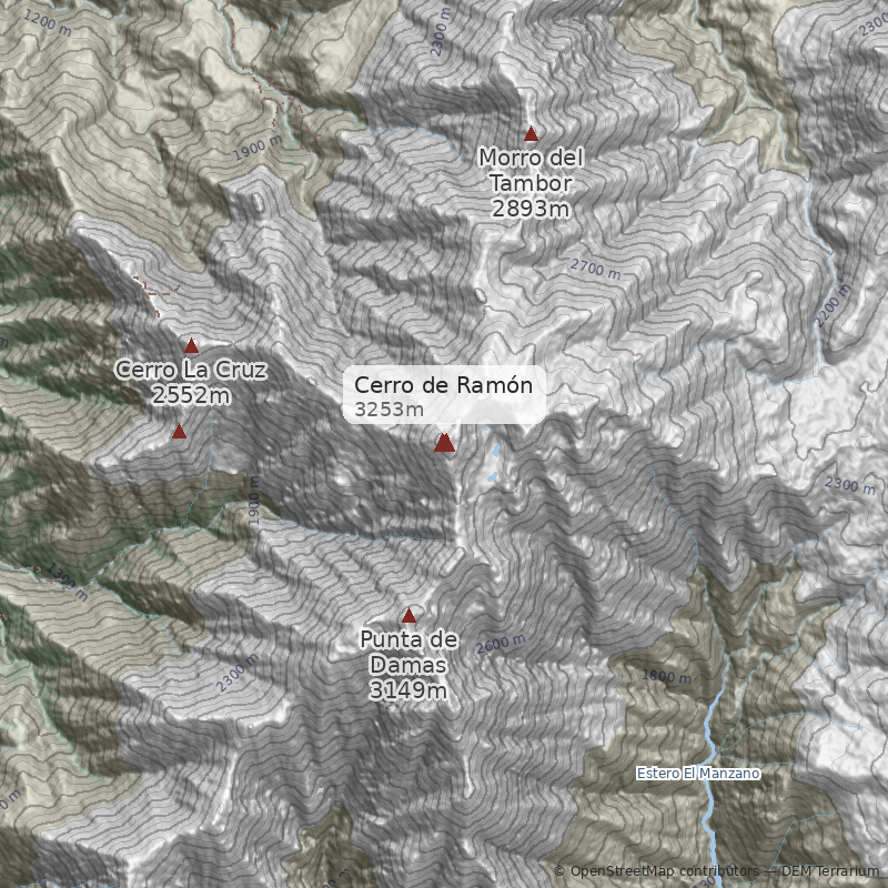
Desde el filo, por primera vez se ve la cumbre del Ramón, así como el Punta de Damas. Este es un buen lugar para detenerse un rato y reponer energías, a la vez que disfrutar de la vista de Santiago inmediatamente bajo nuestros pies (si el smog lo permite). Desde aquí el sendero sigue por el filo en dirección norte, siempre señalizado con marcas pintadas en la roca y una huella bien marcada. Continúa un rato por el filo y luego lo abandona para hacer un traverse por debajo de la cumbre de La Cruz (See photo 4). Continuar la travesía hasta la altura del collado entre La Cruz y el filo rocoso que parte en dirección este hacia el Ramón. Aquí existen dos alternativas para continuar el ascenso. La primera y más recomendada para el ascenso, es montarse al collado y pasar al otro lado del filo (costado norte), por donde transcurre la huella evitando las pasadas más complicadas de roca (See photo 6). Esa pasada rocosa es conocida como "Los Camellos", debido a la forma que ofrecen los macizos rocosos. La otra alternativa, recomendada para el descenso, continúa el traverse todavía por algunos metros y luego remonta por acarreos hasta llegar nuevamente al filo. Si se elige esta vía para el descenso, hay que fijarse bien en el punto donde se abandona el filo. Este está marcado por un gran monolito de roca que al mirarlo subiendo está pintado con un gran círculo y al mirarlo bajando tiene una flecha pintada que apunta hacia el descenso. Este punto coincide además con una inflexión en el filo entre una antecumbre y su respectiva "falsa antecumbre" (2700m aprox.) (See photo 4).
En el punto donde se juntan las dos posibles rutas de ascenso y en sus cercanías, se puede establecer un Campamento Alto si se desea realizar la ascensión en dos jornadas. Existen una serie de pircas para proteger del viento y normalmente hay nieve para derretir en la ladera sur del filo (llevar agua suficiente en verano y otoño, no contar con la nieve). Además, este punto está lo suficientemente alejado de la ciudad como para que se pueda dejar solo el equipo de campamento mientras se sube a la cumbre, sin riesgo (o muy poco) de robos. Considerar unas 5 a 7 horas hasta este punto.
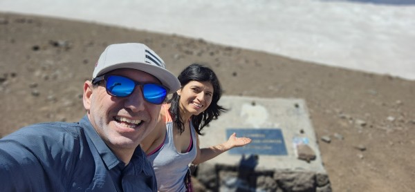
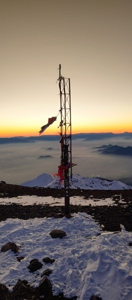
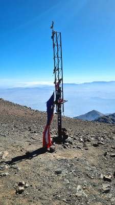
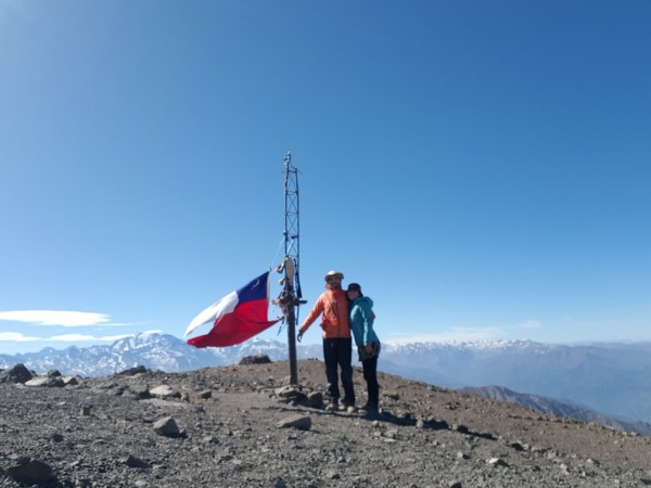
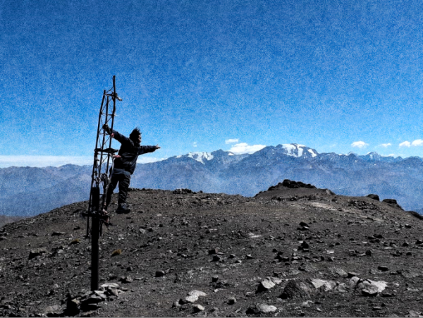
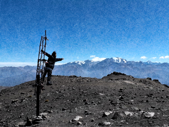
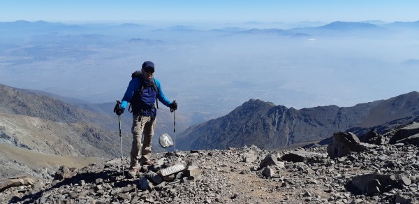
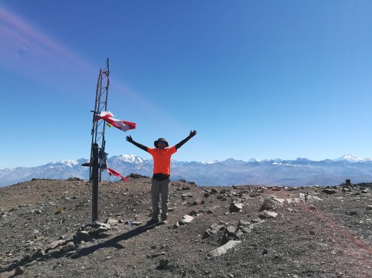
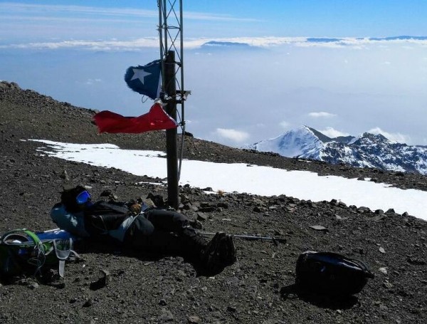
Ya sobre el filo superior la ruta transcurre sin complicaciones por una serie de subidas y bajadas, sin ganar mucha altura, hasta topar con la subida final que deja en la cumbre del Ramón (See photo 5). Esta última subida remonta un desnivel de 400m-500m y transcurre por acarreos y neveros. Tiempo total hasta la cumbre desde CB: 1h - 2h.
El descenso se lleva a cabo por la misma ruta y toma entre 3h y 5h dependiendo del ritmo de cada uno.
- Llevar abundante agua (más de 3 litros por persona al día).
- Iniciar el ascenso muy temprano, para disponer de abundante tiempo para el regreso.
- La ascensión en el día es una dura prueba. Recordar que la ascensión no termina en la cumbre; se debe estar muy conciente de las propias capacidades y reservar las energías y tiempo necesarios para un descenso seguro.
- En un año muy seco el estero que corre por la quebrada podría llegar a secarse durante el verano. Actuar acorde y llevar agua sin contemplar aquel punto de reabastecimiento.
- Se recomienda avisar de la salida al Cuerpo de Socorro Andino. Se puede hacer a través del formulario en su página web.
- Buenos zapatos de trekking
- Bastones de trekking
- Crampones y piolet de marcha (en invierno)
- Abrigo cortaviento
- Linterna (recomendable ante un eventual descenso de noche)
- Gorro y protector solar
- Santiago - CB
- CB - Cumbre - Santiago
- Santiago - Cumbre - Santiago

